Day 35 — Saturday 4 June 2011
Le Blanc – Valençay
| Route Details | ||
|---|---|---|
| Riding Distance | 49.21 ml | 79.19 km |
| Uphill Distance | 19.66 ml | 31.64 km |
| Downhill Distance | 21.57 ml | 34.72 km |
| Max Altitude | 575 ft | 175 m |
| Altitude Gain | 1663 ft | 507 m |
| Altitude Loss | 1512 ft | 461 m |
As this was quite a big day (not for some maybe but at least by my standards for this journey). I was up at half past six and after drying out the tent and ground-sheet in the sun as it broke round the end of the trees I set out at half past eight. I found a small lane up through some houses that avoided the centre of Le Blanc, and wound my way round to the D17. At Douadic I took the D43 through St-Michel-en-Brenne where I stopped for coffee, bread and a very nice goat’s cheese.
This was the area of the Parc Naturel Regional de La Brenne dotted with hundreds of small lakes. Lovely rolling narrow lanes mostly as straight as a die lead me to a restaurant that was not yet open so I carried on to Clion where a brasserie served up a scrumptious pure beef burger, chips and salad. Over the River Indre and up out of the valley onto high rolling lanes with huge views in all directions. I came to Écueillé where I stopped for coffee and took a photograph of the Marie that had been decorated ready for the Tour de France passing through later on 8 July. The temperature was at a steady 30° centigrade for much of the day with a refreshing breeze, making it quite hot if I stopped, but more than comfortable so long as I kept moving.
I arrived at Valençay at about four o’clock in time to see the end of a junior fishing competition and the presentation of prizes. This was a delightful site with a large open-sided pavilion set up with a large screen TV and barbecue grill. I showered, washed and hung everything up in the sun on string tied between two handy tree trunks by the edge of the lake. Fortunately nothing fell in.
I walked into the town and would have had a looked at the chateau but it was not open on Saturdays. The drive up to the chateau is a couple of kilometres long aiming straight at the main gates of the chateau, and is now the D956, named Avenue de la Résistance. At one time it would have been unbelievably imposing. After a near miss with a thunderstorm that slipped by without wetting the campsite I turned in and slept soundly.

Route – Day 35
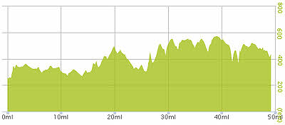
Gradient – Day 35
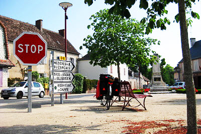
St-Michel-en-Brenne (10:32)
Great riding! (10:44)
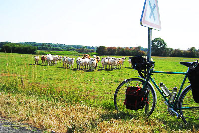
What’s all this then? When I set off again they all ran alongside me to the end of the field (10:45)
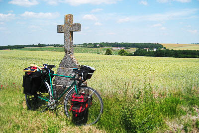
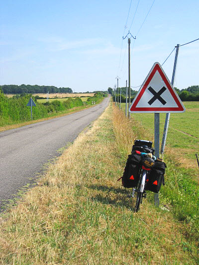
High rolling farm land between Clion and Préaux (13:21)
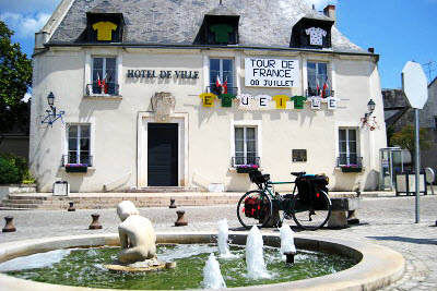
Tour de France notice at Écueillé (14:31)