Day 6 – Friday 13 July 2012
Rothenberg ob der Tauber – Wertheim-Reicholzheim
| Detail | Imperial | Metric |
|---|---|---|
| Riding Distance | 59.32 ml | 95.46 km |
| Start Elevation | 1076 ft | 328 m |
| Total Ascent | 1558 ft | 475 m |
| Max Elevation | 1086 ft | 331 m |
Campsite
Camping Forelle, Zum Ottersbern 14, 97877 Wertheim-Reicholzheim
www.camping.info
Notes
I had intended to follow the Tauber cycle path (I even had a map of the radweg which is supposed to be really attactive, but I lost it at Creglingen and ended up cycling a few kilometres in the wrong direction and had to refer to my conventional compass to sort myself out. I met up with Liz at Bad Mergentheim near the Alt Rathaus (a nice lady had pointed me in the right direction) and had goulash at a fast food shop.
After lunch I set off in mixed weather on the A27, horribly busy. At Tauberbischofsheim I found the cycle track again and stayed on it all the way to the campsite. The by-road twisted and turned and went up and down so it took longer than I had anticipated. The campsite was laid out alongside the lane under pine trees that dripped on us during the night.
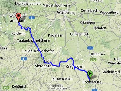
Route – Day 06
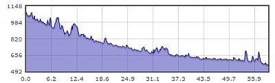
Gradient – Day 06
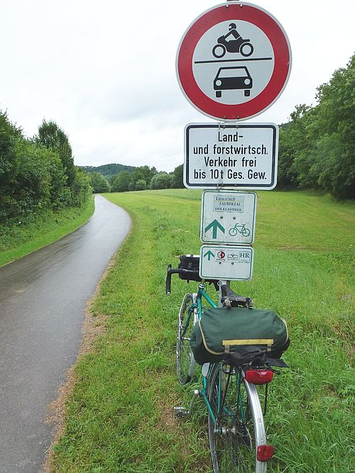
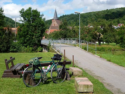
Wet cycle path north of Rothenberg: 13/7/12 (10:29)
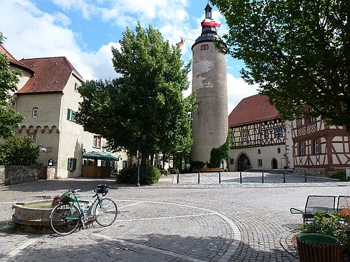
Tauberbischofsheim: 13/7/12 (15:27)
Cycle Path near Reicholzheim: 13/7/12 (16:26)