Day 11 – Wednesday 18 July 2012
Bad Wildungen-Mandern – Höxter
| Detail | Imperial | Metric |
|---|---|---|
| Riding Distance | 68.57 ml | 110.35 km |
| Start Elevation | 496 ft | 151 m |
| Total Ascent | 3679 ft | 1121 m |
| Max Elevation | 1246 ft | 380 m |
Campsite
Weserkamping Höxter, Sportzentrum 4, 37671 Höxter, www.wesercamping-hoexter.de
Notes
Torfmann's route heads slightly west of mine and ends up in Brakel. I aimed a little further north east at Höxter on the River Weser from where I planned to go through Hamelin the following day.
The two motorhomes that had parked close to us the previous evening had gone by the time we packed up. The weather was dull but not actually raining as I left, taking small roads to the west rather than heading back towards Fritzlar, where Torfmann spends the night. I had my GPS device switched on and as I had done before, zoomed out so I could see my planned route at the same time as doing some real map reading. I had planned to meet Liz for lunch at Zierenberg so I couldn't be too maverick about my route, which followed small lanes dodging between busier roads all the way.
At Zuschen I crossed the Elbe. That was a surprise as I wasn't due to be there for several days, but obviously another one. It's a bit like the Derwent in England, that turns up all over the place. I freewheeled down to the bridge and stopped to check my map just as a lady in a car with some young children asked the way. I laughed and explained that I was English and didn't know the area at all, but I could show her where she was on my map. She spotted where she wanted to go and thanked me with some amusement.
I crossed an area that my map labels Habitschwald, high open rolling farmland, and then dropped down to a town of the same name before arriving at Zierenberg. Liz had already checked out places to eat, but the restaurant that looked attractive wasn't open. We tried our luck at a butcher's that had a table in the window, and we had an excellent fast-food lunch of fresh produce prepared and microwaved in the shop as we tried to engage in halting conversation with the proprietress. After a good lunch eaten amongst the comings and goings of regular customers we walked round to the town square and found a café for a really good cup of coffee and a super cake. There was an imposing sculpture of a cart horse in the square.
From Zierenberg I planned to cycle along the picturesque River Warme valley heading due north along small roads to Beverungen on the river Weser. I came to Laar and found a Straße gesperrt sign but being a cyclist I thought I would be able to squeeze past. No such luck! A kilometer further there was a trench two meters deep right across the road and half way into the fields on either side. I walked up to the edge of the workings to have a look and was waved away with some impatience. There was nothing for it but to retrace my steps and take a hilly detour through Escheberg and round to Liebenau before heading north again as planned.
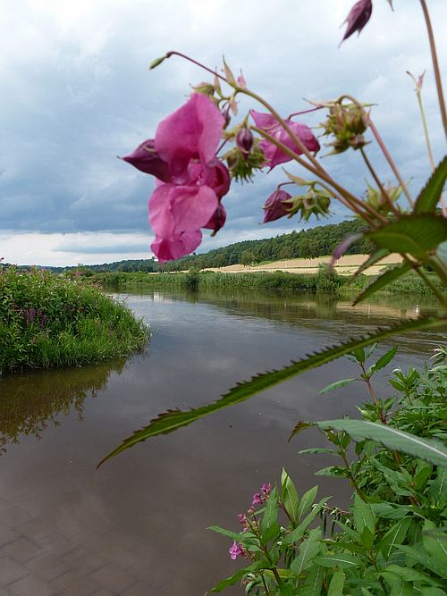
A final push upwards brought me to a steep descent round hairpin bends into the Weser valley and Beverungen. By this time the weather had improved to cloudy-with-bright-periods, and I heaved-to for a breather. There was a curious ferry boat pulled across the river by an overhead zip-wire. The Weser cyclepath was splendid but the view was spoilt by a huge box-girder rail bridge spanning the river. The campsite was very good and I bedded down hoping for a really good ride along the Weser the following day through Hamelin, and maybe even spotting a pied piper or two.
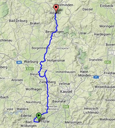
Route – Day 11
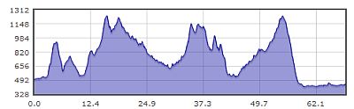
Gradient – Day 11
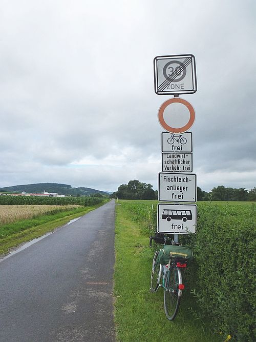
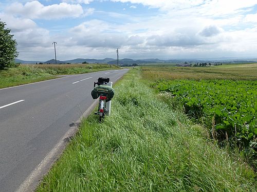
Restrictions on the cycle lane: 18/7/12 (09:55)
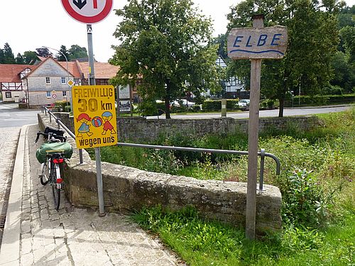
Crossing the River Elbe (the other one!): 18/7/12 (10:30)
High open spaces: 18/7/12 (10:46)
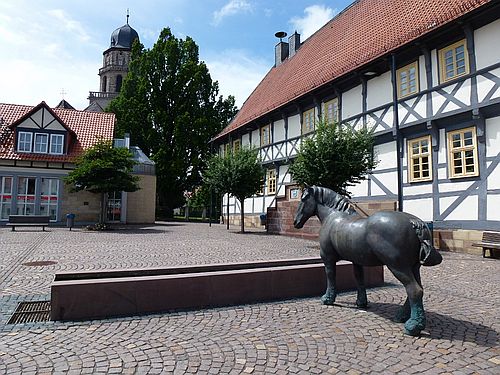
Zierenberg: 18/7/12 (13:08)
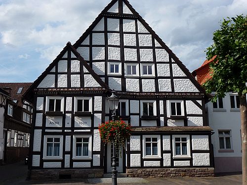
Beverungen (built 1897): 18/7/12 (17:21)
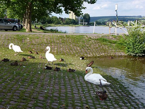
River Weser at Beverungen: 18/7/12 (17:25)
River Weser at Beverungen: 18/7/12 (18:03)
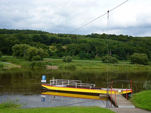
Ferry across the Weser at Beverungen: 18/7/12 (18:05)