Day 16 – Monday 23 July 2012
St Michaelisdonn – Büsum-Warwerort
| Detail | Imperial | Metric |
|---|---|---|
| Riding Distance | 30.25 ml | 48.68 km |
| Start Elevation | 121 ft | 37 m |
| Total Ascent | 0 ft | 0 m |
| Max Elevation | 121 ft | 37 m |
Campsite
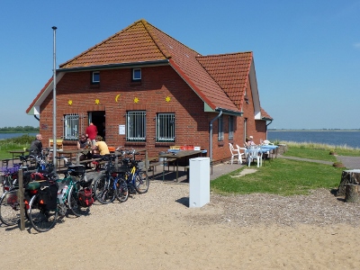
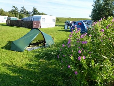
Camping Seeschwalbe, Mühlenweg 35, 25761 Büsum-Warwerort, www.campingseeschwalbe.de/
Notes
Torfmann has already reached Sylt by now, having made it to Husum in a single dash. I don't get there until tomorrow, one day behind him.
In the meantime, and what delayed me, I took a sideways lurch to the coast and followed the coastal cycle path. Part of this is incorporated into the North Sea Cycle Route. Maybe that's a trip for another year.
I knew I hadn't far to go so I had a lazy morning, getting up at half past seven and cooking a hot breakfast before setting off at eleven o'clock. The road dropped quickly from the airfield down to the coastal plain. I got to a Bakerei at half past eleven but it had already done its business and was closed. I cycled west to the coast through a totally flat landscape of fields surrounded by flood dykes. The lanes cut through huge gates in the dykes that could be closed to localise any flooding.
By midday I had reached the coast and found cycle paths meticulously signposted. On the seaward side of the huge sea dyke the cycle path stretched ahead, gated at approximately kilometer intervals to keep the sheep from straying. The gates have a main gate for vehicles and a narrower one for walkers and cyclists. The narrower gate is angled so that it will shut by itself, which is not good news if you are trying to hold a loaded bike with one hand and keep the gate from crushing your rear wheel with the other. The path itself is a wide metalled surface and would be a dream to cycle were it not for the sheep droppings, dried hard in the sun, between which you have to weave. It sort of takes the polish off the experience.
The tide was out and I could see all the way over the Meldorfer Bucht to Büsum. There were lots of day-cyclists with little or no luggage. I could see the Neuer Meldorfer Hafen on the map ahead of me, where there is a break in the sea dyke to accommodate a sea loch. I had hoped that there would be a way across but when I arrived there I did indeed find a bridge but it was withdrawn to one side of the inlet and I had to take a long detour round.
Having missed the bakerei earlier I was relieved to come across a beach snack bar so I stocked up with a schwein schnitzel mit kartofel salat. I cycled on but didn't come across the campsite where I was expecting it, and eventually came to the edges of Büsum where I asked for directions. I was pointed back in the direction I had come and found the campsite perfectly signed just off the path but the sign was only visible if you were travelling east. The site restaurant didn't function on Mondays, but the nice man did make me a shrimp sandwich, which I ate along with a large beer.
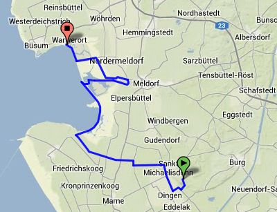
Route – Day 16
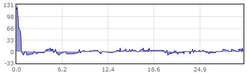
Gradient – Day 13
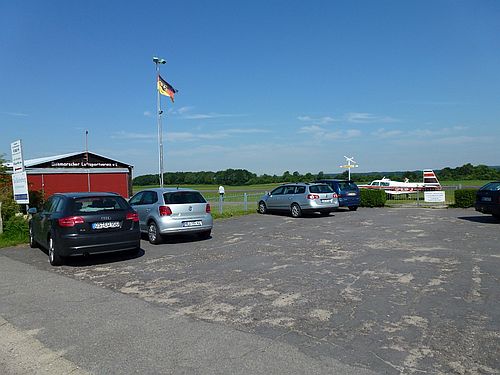
Airfield at St Michaelisdonn – 23/7/2012 (10:59)
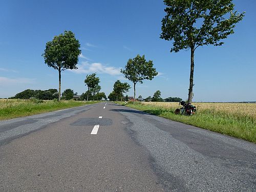
Blissful cycling – 23/7/2012 (11:53)
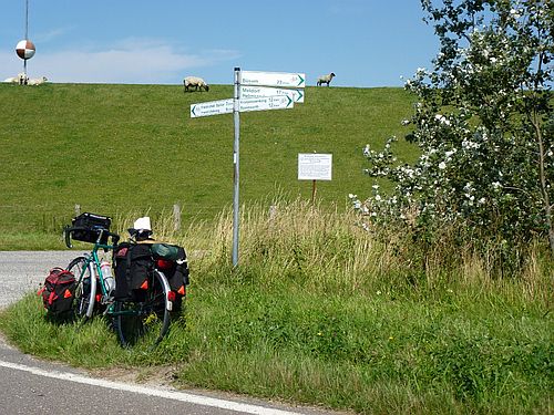
Well posted cycle tracks – 23/7/2012 (12:41)
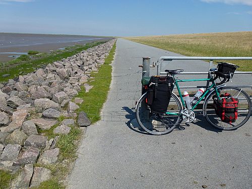
Sea-shore cycle track – 23/7/2012 (13:12)
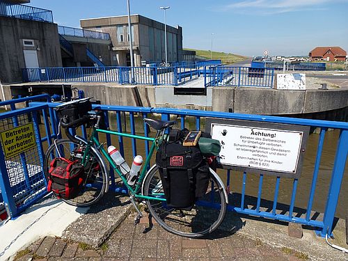
Whoops! No bridge – 23/7/2012 (13:43)
Lunch stop – 23/7/2012 (14:25)
Camping Seeschwalbe – 23/7/2012 (16:05)