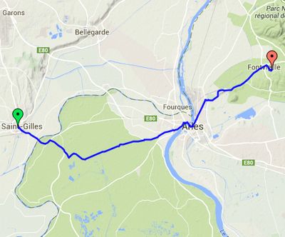
Day 2 – Monday 30 June
St Giles to Fontvieille
| Route Statistics | ml / ft | km / m |
|---|---|---|
| Riding Distance | 18.47 | 29.73 |
| Total Ascent | 282 | 86 |
| Total Descent | 177 | 54 |
| Start Elevation | 26 | 8 |
| End Elevation | 131 | 40 |
| Min Elevation | 13 | 4 |
| Max Elevation | 148 | 45 |
Campsite
Camping Municipal Les Pins (http://www.fontvieille-provence.com/office-de-tourisme-fontvieille/camping-anglais.php)
Notes
Having stopped short on Sunday I had it mind to try to find a bike shop in Arles to repair or replace the front pannier carrier and then to go the short distance to my planned stop at Fontvieille. I found the tourist information office in Arles but discovered that specialist bike shops would not be open, it being Monday. I tried a large sports department store but they didn't stock anything suitable, so I abandoned that idea and pressed on to Fontvieille. There was a good restaurant so I sat outside under an umbrella and had lunch. The campsite was in the pine forest behind the town where I kicked my heels for the afternoon.
Day 2 – 18 Miles
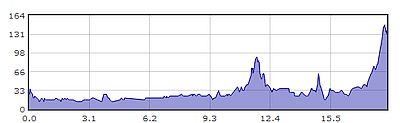
Gradient – Day 2
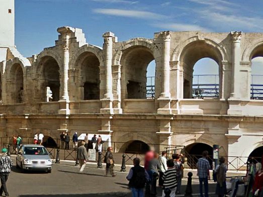
Roman Theatre, Arles
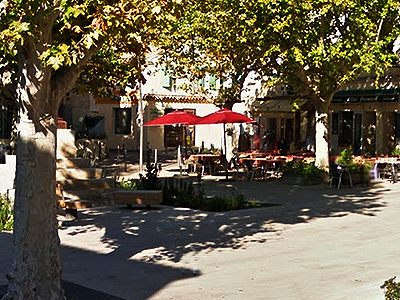
Restaurant at Fontvieille
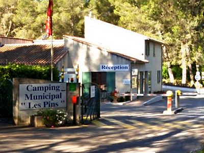
Camping-Les-Pins, Fontvieille