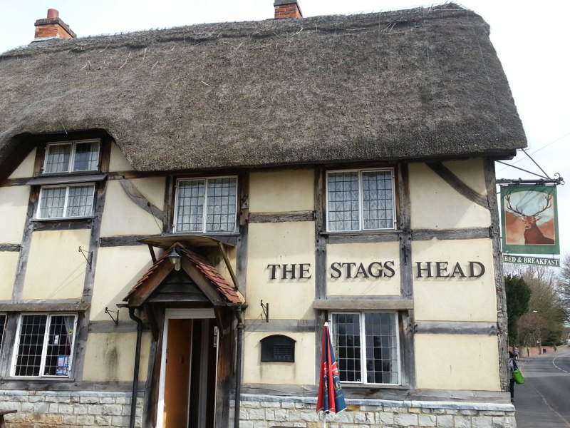
The Stags Head, Wellesbourne
| Details | Values |
|---|---|
| Ascent | 1742 ft |
| Start Elevation | 482 ft |
| Min Elevation | 125 ft |
| Max Elevation | 492 ft |
| Distance | 47.1 m |
| Download GPX file |  |
RL to Wellesbourne, 5 September 2018
Here is a clear south easterly route to a marvelous pub that has suffered a disastrous fire and subsequent rebuilding and reopening. It follows lovely small lanes and traffic free roads down to the River Avon and back up again.
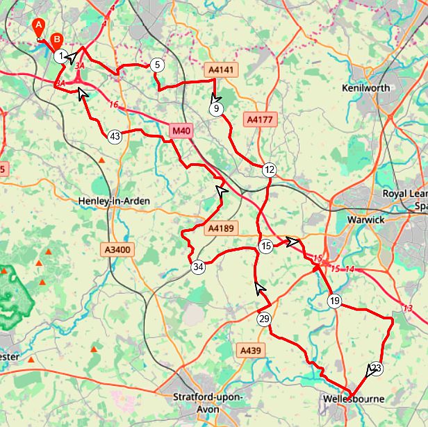
RLE-Wellesbourne-47m
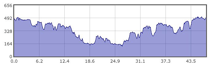
RLE-Wellesbourne-Profile