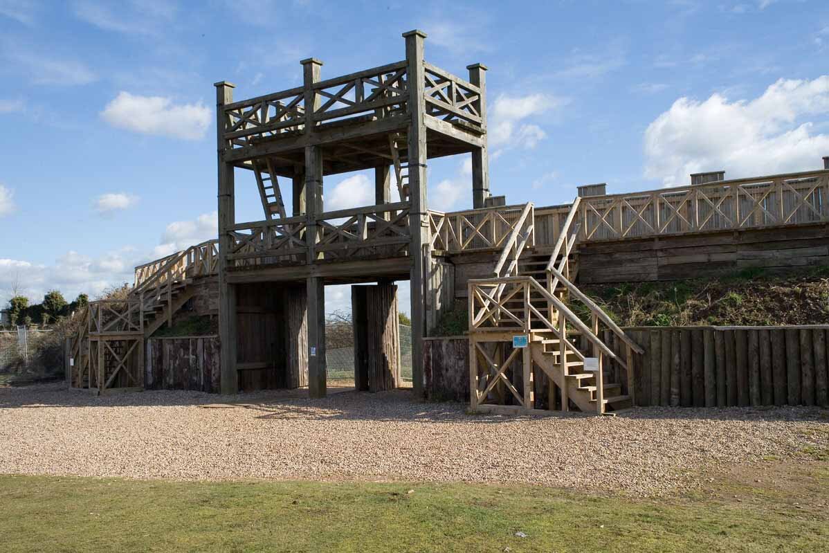
Lunt Roman Fort, Baginton
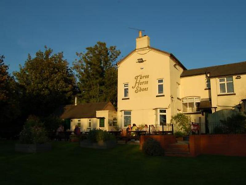
The Three Horseshoes, Princethorpe
| Route Details | |
|---|---|
| Ascent | 2929 ft |
| Start Elevation | 472 ft |
| Min Elevation | 161 ft |
| Max Elevation | 479 ft |
| Distance | 51 m |
| Download GPX file |  |
RLE to Princethorpe, 16 September 2015
This is going back quite a long way, to the days when I was much fitter and didn’t pause to think of a long ride. East was the direction I had been given, so east I went, finding The Three Horseshoes that we had not been to before. I planned a cunning route to the south of Coventry, passing the Lunt Roman fort at Baginton and then down passed Coventry Airport. The return route came through Cubbington and then across the busy A452 using a bicycle slip road, but still needing care; thence a wiggly route across to the Old Warwick Road and home via Hockley Heath. All in all I was quite proud of that route, which the club had not followed before.
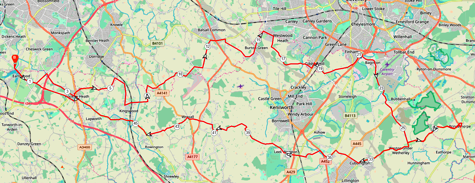
RLE-Princethorpe-51m
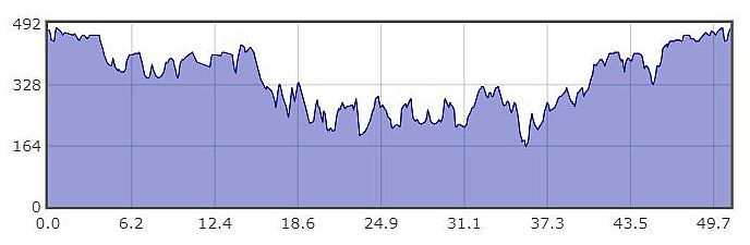
RLE-Princethorpe-Profile