Day 5 – Thursday 19 June 2014
Vertus to Bar-sur-Seine
| Route Statistics | ml / ft | km / m |
|---|---|---|
| Riding Distance | 70.55 | 113.53 |
| Total Ascent | 1309 | 399 |
| Total Descent | 1142 | 348 |
| Start Elevation | 348 | 106 |
| End Elevation | 515 | 157 |
| Min Elevation | 233 | 71 |
| Max Elevation | 538 | 164 |
Hotel
Hôtel du Commerce
Notes
Yesterday we came down out of the hills of the Forêt de la Montagne de Reims into the Seine basin. This morning we enjoyed pancake flat cycling along what appeared to be major roads but in fact were pretty quiet. Eventually we came to the Seine itself at Méry-sur-Seine. There is a local cycle path along the Seine at this point that appears to join up with E(uro)V(elos)16, but we didn't take it. Roads are much quicker unless the cycle path is of high quality. Often local paths are for pottering along rather than getting a move on.
We sped on upstream in a comfortable 28°C. We bought baguettes, quiches and fruit as we came across shops and found a café at about 11:30am for coffee. We stopped in a bus shelter for lunch.
The hotel, my notes tell me, was a "nice, small" one where we had a good dinner. I have found it on Google Street View but I can't remember it at all. I have a strange note that I strung my washing on my pegless washing line stretched between a window catch and the TV bracket. Ah well!
We left the Champagne region during the afternoon, but so far as the wine is concerned the region had been recently extended so that more vineyards could use the Appellation Controlée.
Day 05 – 71 Miles
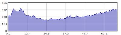
Gradient – Day 05
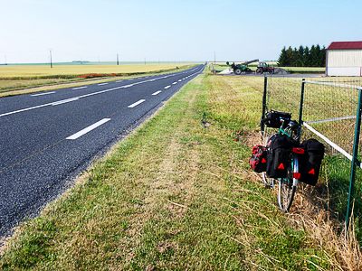
Now that's what I call an open road (9:00am)
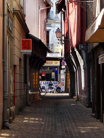
Narrow street in Troyes (3:02pm)
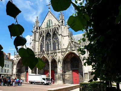
Basilique Saint-Urbain, Troyes (3:03pm)