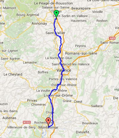
Day 10 – Tuesday 24 June
St Rambert d'Albon to Montelimar
| Route Statistics | ml / ft | km / m |
|---|---|---|
| Riding Distance | 67.23 | 108.19 |
| Total Ascent | 2008 | 612 |
| Total Descent | 2254 | 687 |
| Start Elevation | 515 | 157 |
| End Elevation | 269 | 82 |
| Min Elevation | 269 | 82 |
| Max Elevation | 1070 | 326 |
Hotel
Hôtel Kyriad
Notes
Again, I have lost my notes for this day. Nevertheless I recall a steep hill after Saint-Vallier that we had to struggle over as the only road on the east of the river was the motorway, so we headed away from the river and over the hump. Looking at the route again I realise that the ViaRhôna crosses to the west bank at Saint-Vallier and comes back to the east bank at Toutnon-Sur-Rhône. Ah well!
The highlight of the day was lunch in Valence. Mike had a mechanincal problem and we found a bike shop that would fix when they reopened after lunch. We found ourselves a street restaurant and had an amusing time watching the local community police officers trying to get the proprietor to move his car off the pavement. Each time they came past he drove it off, only to return it when they were round the corner. Mike's bike suitably repaired we set off for Montelimar passing lavender fields on the way.
Day 10 – 67 Miles
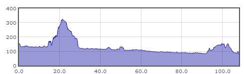
Gradient – Day 9
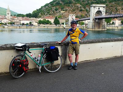
Me! By the Rhône at Andancette (08:48)
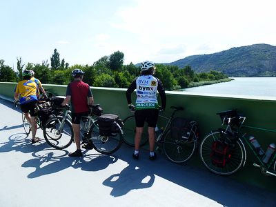
Stopped to admire the view (15:56)
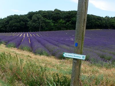
Lavender fields on the way to Montelimar (17:18)