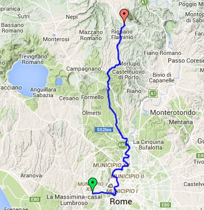
Day 1 – Tuesday 15 July
Rome to Capannacce
| Route Statistics | ml/ft | km/m |
|---|---|---|
| Riding Distance | 35.79 | 57.59 |
| Total Ascent | 2395 | 730 |
| Total Descent | 1778 | 542 |
| Start Elevation | 223 | 68 |
| End Elevation | 837 | 255 |
| Min Elevation | 46 | 14 |
| Max Elevation | 1224 | 373 |
Bed & Breakfast
Bed and breakfast spotted on side of road as I was cycling through Capennacce.
Notes
I was late setting out, getting away in sundshine about ten o’clock. I followed my satnav due east along the Via Aurelia eventually coming the River Tiber at the Ponte Giuseppe Mazzini where there was a steep flight of stone steps down to the cycle path alongside the river. There was no way I could have carried the bike fully loaded down so I unloaded and carried things down bit by bit, leaving things in the care of an elderly chap leaning in the wall at the top of the steps.
I followed the cycle path for nearly 20 kilometers to Labaro where I crossed the A90,the Rome ring road, on a pedestrian overpass and turned north away from the river that winds off to the east. I hunted round the back streets of Labaro and found lunch at a workers’ restaurant where they sat me outside under a small canopy that the sun slowly penetrated as it moved round; it was uncomfortably hot. All the main roads and the railway follow the Tiber valley, but there are no smaller roads suitable for bicycles, so I took smaller hilly roads heading due north.
It was slower going than I had anticipated and about 25 kilometers from my next campsite I came across a sign in English for bed and breakfast. I capitulated and found them very welcoming. I had a meal while they cleaned a rather nice cabin with a marble floor where I spent the night. It took quite a time for the floor to dry, so I left the door open in the hope that a through-draft would help. The following morning I had coffee and a criossant before setting out.
Day 1 – 36 Miles
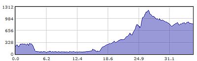
Gradient – Day 1
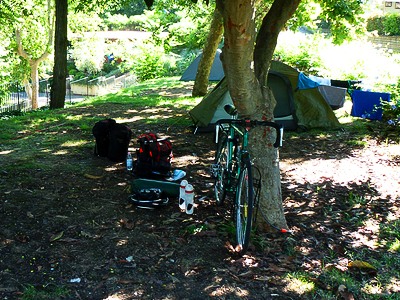
Packing up at Camping Village Roma
(Tuesday 15 July, 09:15)
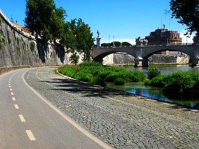
Cycle path alongside River Tiber
with Castel Sant'Angelo in background
(Tuesday 15 July, 11:15)
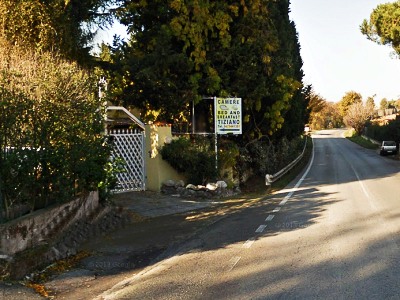
Inviting B&B sign, Capannacce
(Google Street View)
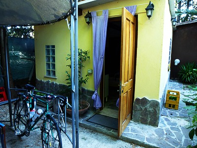
My bedroom/cabin, Capannacce
(Tuesday 15 July, 17:50)