
Bike Hike Screen

Plot A Route Screen
How to create a GPX file
I’ve probably described before my method of planning a club ride, nevertheless people keep asking me. I start by checking the direction the ride is supposed to go in and then look for a pub in that rough direction about 15 or 20 miles away. Having checked that it serves food and having looked at the menu to make sure its in the right price range I then look for quiet roads to get there and back without using the same ones twice. That takes a bit of experience to read the map correctly. Generally I use a paper OS map to get a feel for the whole area and then use on-line internet mapping applications to create a GPX file that can be shared with club members.
People have their own preferences for mapping applications. The most popular ones that I’ve come across are On The Go Map, Map My Ride, Ride With GPS, Where’s The Path, Outdoor Active, Plot A Route, Bike Hike. A quick internet search will take you to the site of each one. The two that I use all the time are Plot A Route and Bike Hike. Both allow subscription free routing and GPX downloads but Plot A Route has more functionality, as well as allowing registered users to save routes on-line. The interesting thing about Bike Hike is its split screen: the main window is an Open Street Cycle Map with a smaller window showing an Ordnance Survey map. This allows you to check the well known OS legend to get a clear idea of what the OSM map is showing. Plotting a route is done in the OSM window. You can adjust the route to send it down a different road, combine two routes, reverse a route, downsize a route to save file space etc. Plot A Route has a lot more functionality and allows you to switch between different OSM map types but won’t show an OS map. On balance I find Plot A Route more flexible.
Once you’re satisfied with your route the next thing is to reduce the number of way-points to about 500. Both applications allow you to do this. Some devices won’t accept a route with too many way-points. Be careful though: reducing them too far makes the route into a number of very long straight lines that don’t show the detail of a bending lane or simply cut straight through a complicated junction.
Finally save and download the route to your computer so that you can upload it to your GPS device or email it to your cycling club for a club ride. Plot A Route has both a Save button and a Download button; Bike Hike just has a Save button. If you’re logged into Plot A Route then you can save it on-line; Bike Hike’s Save button actually downloads it. Both applications give you several file format options but it is essential that you download the file as a "GPX Track". I also download the file without turn directions, which also keeps the file size small.
The GPX files for lots of other day rides will be found on the Club’s website.
One final thought for the real nerds
Go to https://www.routeconverter.com/, and follow the links to download the program to your computer. I’m running Windows10 which doesn’t like it. I told Windows to ignore the warning and ran it anyway. It has good reviews, it’s bug free and doesn’t need installing, just move the program from your downloads folder to another folder for permanent storage. I’ve created a shortcut on my desktop and pinned that to Start. I warn you, it’s not for the fain-hearted, but it allows you to plan a route without using an application over the internet.

Screen Shot from Plot A Route
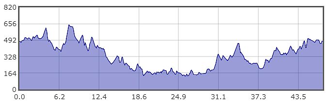
Screen Shot of the Bike Hike Profile